Lately, the GNSS INS System has really been making waves in navigation and positioning. Basically, it combines the power of Global Navigation Satellite Systems (GNSS) with advanced Inertial Navigation Systems (INS), creating a pretty game-changing combo. I read in a report by MarketsandMarkets that the global GNSS market is expected to hit around USD 140.4 billion by 2025. And a big part of that growth comes from INS tech, which actually makes positioning way more accurate and reliable, especially in tricky, real-world situations.
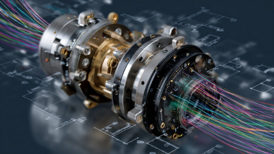
Oh, and speaking of innovation, Poseidon International Group based in Hong Kong has been right in the thick of things since 2013. They focus on developing their own top-tier fiber optic gyroscopes (FOG) and INS systems. They've even got multiple patents under their belt. It’s clear they’re all in on pushing the boundaries of GNSS INS technology—things like autonomous navigation, attitude control, and cool smart systems are all part of their vision for the future.
The Evolution of Navigation: From Traditional Methods to GNSS INS Integration
The way we navigate has come a long way, hasn't it? From those old-school methods like reading maps and using the stars, to the super advanced tech we have now. Back in the day, sailors and explorers depended on landmarks and celestial bodies—pretty much relying on experience and a good eye. But let’s be honest, that wasn’t exactly quick or foolproof. Things like weather, light, and even human mistakes could throw things off. Then came the game-changers: mechanical instruments like compasses and chronometers, which made navigation a whole lot more reliable, even if it still had its quirks.
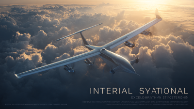
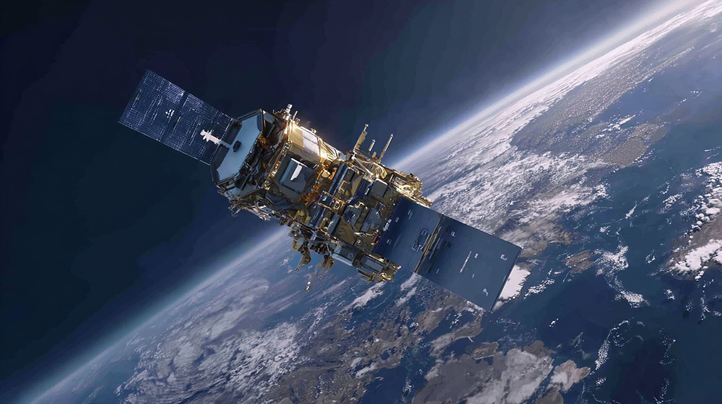
Fast forward a bit, and now we've got GPS systems—GNSS—that use signals from satellites orbiting way above us. They can pinpoint your location with crazy precision. But, here’s the catch: sometimes signals can get blocked—think of those urban canyons or thick forests. That’s where combining GNSS with Inertial Navigation Systems, or INS, really shines. By blending these techs together, we get a navigation system that can keep us on track even when signals drop out. Honestly, this kind of tech mashup is transforming how we find our way, whether it’s flying planes, driving autonomous cars, or just exploring new places. It’s pretty amazing how far we’ve come, isn’t it?
Understanding the GNSS INS System: How It Revolutionizes Navigation and Positioning - The Evolution of Navigation: From Traditional Methods to GNSS INS Integration
| Feature |
Traditional Navigation |
GNSS |
INS |
GNSS/INS Integration |
| Accuracy |
Low (up to 100m) |
High (within 5m) |
Very High (sub-meter) |
Ultra High (centimeter-level) |
| Signal Availability |
Limited (depends on visible landmarks) |
Global (depends on satellite visibility) |
Independent (does not rely on external signals) |
Very High (enhanced reliability) |
| Cost |
Low (minimal equipment) |
Moderate (GNSS receivers) |
High (INS systems) |
Variable (depends on system used) |
| Use Cases |
Basic navigation, orienteering |
Aviation, maritime, outdoor activities |
Autonomous vehicles, robotics |
Precision agriculture, surveying, aerospace |
| Response Time |
Slow (depends on manual input) |
Moderate (few seconds to acquire signal) |
Instantaneous (real-time data) |
Fast (very quick adjustments) |
Understanding GNSS: Key Technologies and Insights Driving Precision Positioning
You know, GNSS (that’s Global Navigation Satellite System) tech has really become a fundamental part of getting precise locations these days. It’s powering up everything from car electronics to disaster monitors and even smart farms. The market for GNSS simulators is already sitting around $201.8 million, and experts expect it to grow about 9% each year from 2024 through 2032. That’s pretty impressive, and it all boils down to how more and more devices now rely on GNSS to deliver better location services for all sorts of cool applications.
Lately, there’ve been some pretty exciting advances—like combining hardware IP with smarter algorithms—that have boosted how well GNSS receivers work, especially in little IoT gadgets that run on batteries. The improved tech lets devices stay asleep longer, which is a big deal for indoor positioning where you need reliable accuracy without draining the battery. Plus, breakthroughs in achieving millimeter-level precision are really shaking things up in geospatial analysis. They’re making real-time positioning (RTK) solutions for things like autonomous driving and precision farming way more effective.
And with 5G networks spreading everywhere, we’re seeing a whole new wave of location tech coming into play. Compared to older standards like 4G’s A-GNSS, 5G is set to totally change how we approach positioning, opening up new possibilities and creating demand for navigation solutions that are more precise than ever, keeping up with rapid tech changes.
INS Technology: The Role of Inertial Navigation in Enhancing GNSS Reliability
 Inertial Navigation System (INS) technology has really boosted the reliability of Global Navigation Satellite Systems (GNSS), especially in tricky environments where satellite signals often get blocked or just plain weak. For example, a report from the European GNSS Agency points out that more than 30% of signal loss happens in urban canyons or dense forests — places where getting accurate positioning can be a real headache. But here’s the cool part: by combining INS with GNSS, we can keep pinpointing locations pretty accurately, even when signals are spotty. INS uses accelerometers and gyroscopes to track motion, basically doing dead reckoning—kind of like estimating where you are based on where you’ve been and how much you’ve moved, which helps fill in the gaps when GNSS drops out.
Looking ahead, industry folks are saying the GNSS-INS market could hit over $5 billion by 2025. That’s mainly thanks to better sensor tech and a growing need for dependably accurate positioning—think autonomous cars, planes, and even smartphones. When these systems work together, they don’t just improve access; they make the entire setup way more resilient against interference or signal problems. Most importantly, studies show that this combo can chop down errors to just a few centimeters in many cases, highlighting how essential INS tech has become for modern navigation. Honestly, it’s pretty amazing how much these systems are shaping our world today.
Real-World Applications: How GNSS INS Transforms Various Industries
You know, combining Global Navigation Satellite Systems (GNSS) with
Inertial Navigation Systems (INS) has really changed the game
when it comes to navigation and positioning, and it’s impacting so many industries. Take construction and civil
engineering, for example—these tech combo allows for way more precise geospatial data
collection. That means big projects can run more smoothly and efficiently. Surveyors are using GNSS INS tech to
whip up accurate topographical maps and keep a close eye on sites in real-time. Honestly, that kind of accuracy helps
cut down on risks and keeps things on track, saving time and money
at the same time.
In transportation, this combo is just as crucial. It’s what powers autonomous vehicles to navigate safely and with
confidence, even in tricky environments. Plus, logistics companies are really benefiting from it—they now optimize
routes better, cut fuel costs, and keep tabs on their vehicles all in real-time. And it's not just land vehicles; the
aviation and maritime industries are also seeing shows of improved navigation systems, making flying and sailing
safer and more reliable than ever before. All in all, the real-time data from GNSS INS tech is honestly transforming
how these industries operate, pushing the boundaries of safety and
efficiency in ways we never thought possible.
Data Accuracy and Integrity: The Importance of GNSS INS in Critical Operations
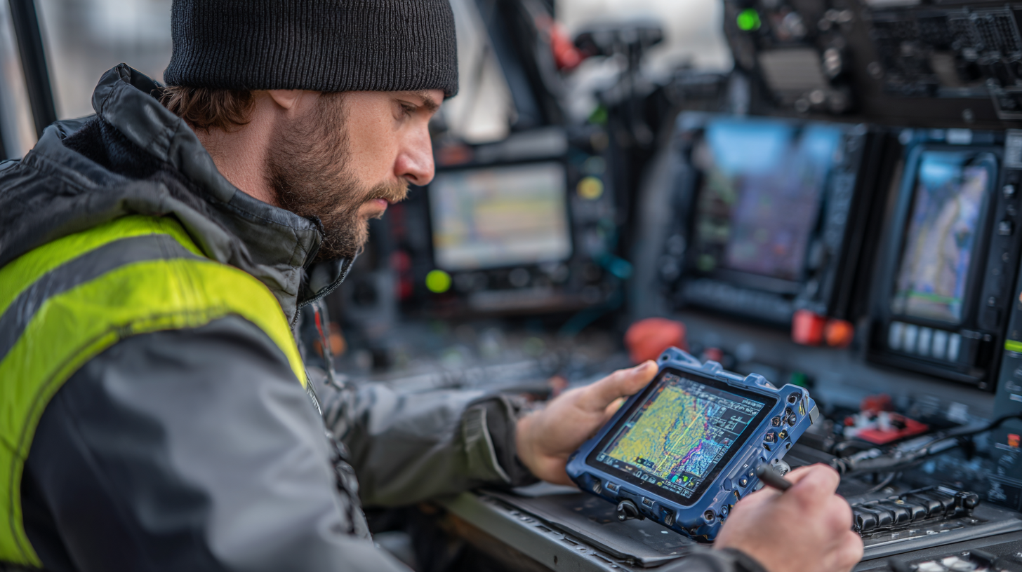
You know, combining GNSS (that's your global navigation satellite stuff) with INS (inertial navigation system) really changed the game when it comes to navigation and positioning, especially for those high-stakes operations. When you put these two together, it’s like getting much more reliable data—you can trust it more. That’s why you’ll often find these systems used in aviation, maritime missions, or emergency services. GNSS gives you pinpoint global locations, while INS keeps providing continuous positioning updates, even when signals are weak or blocked—like in tunnels or bad weather.
In situations where mistakes can be costly, making sure your data's accurate is everything. A GNSS INS combo can spot weird signals or errors and even fix them on the fly by cross-checking the data. So, it stays dependable no matter what. This setup really helps folks make faster, smarter decisions based on real-time info, which is super important if you want to avoid navigation mishaps.
Here's a quick tip: Make it a habit to test and calibrate your GNSS INS system regularly. Doing that keeps everything running smoothly so that you won’t be caught off guard during the really critical moments.
And one more thing: Use advanced analytics along with your GNSS INS data. It can give you a clearer picture of what's going on around you and help you make better choices, even when the pressure’s on.
Future Trends: The Impact of Emerging Technologies on GNSS INS Systems
You know, the way emerging tech is blending with GNSS (that’s Global Navigation Satellite Systems) and INS (Inertial Navigation Systems) is really changing the game for navigation and positioning. I recently came across a report from MarketsandMarkets, and it’s pretty wild — they’re saying the GNSS market alone could jump from 73.7 billion bucks in 2023 to a whopping 104.3 billion by 2028, growing at about 7.5% each year. That’s mainly thanks to newer satellite tech and the skyrocketing need for pinpoint accurate location info across all kinds of industries — like automotive, aerospace, and telecom, you name it.
Now, if you add AI and machine learning into the mix with GNSS and INS systems, you get real-time data crunching that makes everything way more precise and reliable — even in tricky environments. For example, these advanced tech can really cut down on errors that traditional GPS systems sometimes have, especially when you're in places like city canyons or areas with blocked signals. According to a study from the International Journal of Navigation and Observation, mixing GNSS with these new techs can boost positioning accuracy by up to 60%. That’s a game-changer when you're navigating through complex modern landscapes.
**Quick tip:** If you're working on projects involving GNSS and INS, definitely keep an eye on the latest in AI and machine learning — it can seriously up your game. Also, thinking about using multiple sensors together (multi-sensor fusion) can make your system way more robust and reliable, especially when the environment gets a bit wild. And don’t forget, building in some redundancy can really help out if signals get lost or if your system bumps into issues.
Understanding the GNSS INS System: Future Trends
Navigating the Future: High Precision Integrated INS970 for GPS-Denied Environments
In the ever-evolving landscape of offshore oil and gas operations, the Poseidon INS970 High-Precision Integrated Navigation System stands at the forefront of technology designed for GPS-denied environments. As deep-sea exploration and infrastructure maintenance become increasingly complex, the need for high-accuracy navigation and positioning solutions is paramount. According to the International Maritime Organization, over 80% of global trade is transported by sea, underscoring the critical importance of reliable navigation systems in these challenging environments. The INS970, which integrates fiber optic gyroscopes (FOG) and MEMS accelerometers with a robust multi-system satellite navigation capability—including GPS, BDS, GLONASS, and Galileo—delivers unparalleled accuracy that is essential for safe and efficient operations.
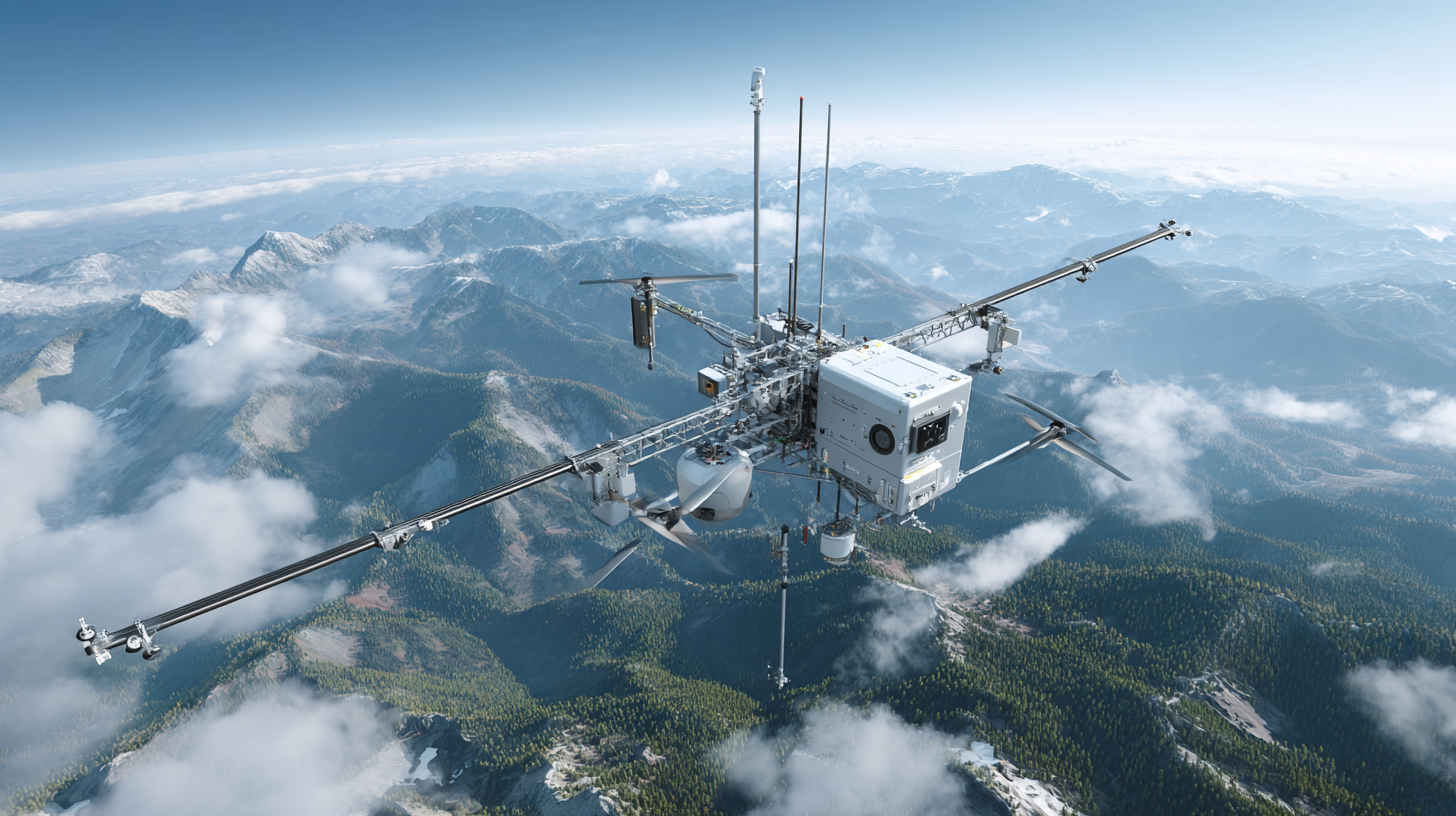
The versatile capabilities of the Poseidon INS970 extend beyond simple navigation; it provides real-time data on heading, attitude, speed, position, angular rate, and acceleration. This level of detailed information enables operators in subsea environments to make informed decisions quickly, thereby enhancing safety and operational performance. Industry studies suggest that advanced navigation technologies can reduce operational costs by up to 30%, support the implementation of automation, and improve the overall efficiency of asset inspections. With its compact design and low power consumption, the INS970 is not only suited for traditional marine engineering applications but is also adaptable for aerospace and UAV operations, making it a multifaceted solution for a wide array of industries faced with navigation challenges in remote and hazardous conditions.
FAQS
: Traditional methods of navigation include map reading, celestial navigation, relying on landmarks, and the use of mechanical instruments like compasses and chronometers.
GNSS works by harnessing signals from satellites orbiting the Earth to determine a user's location with high accuracy.
The main limitations of relying solely on GNSS are signal obstructions in environments such as urban canyons or dense forests, which can affect positioning accuracy.
INS integration is the combining of GNSS with Inertial Navigation Systems to provide a more robust navigation solution that compensates for GNSS signal interruptions and improves overall accuracy.
GNSS technology is impacting various sectors such as automotive electronics, disaster monitoring, and smart agriculture by enabling precise positioning and enhancing location services.
The GNSS simulator market is currently valued at over $201.8 million and is projected to grow at a compound annual growth rate of approximately 9% from 2024 to 2032.
Recent innovations, such as the integration of hardware IP with advanced algorithms, have improved GNSS receiver performance in battery-powered IoT devices, allowing for extended sleep time necessary for accurate indoor positioning.
Breakthroughs in millimeter-level precision of GNSS measurements are transforming geospatial analysis and enabling effective management in fields like real-time dynamic positioning (RTK) for autonomous driving and precision agriculture.
The expansion of 5G networks is set to revolutionize positioning methodologies compared to previous generations, driving demand for highly accurate navigation solutions and new use cases in location-based technologies.
Conclusion
The GNSS INS System really marks a big step forward in navigation and positioning tech. Basically, it combines global navigation satellite systems (like GPS) with inertial navigation systems, giving us incredibly precise and reliable data. As we move away from older, traditional navigation methods, blending these systems does more than just boost accuracy — it also helps tackle issues around data quality and trustworthiness, especially in critical operations. It’s pretty exciting because so many industries are now tapping into GNSS INS for game-changing applications, from self-driving cars to aerospace ventures.
At Poseidon International Group, we’re passionate about pushing these technologies even further. We focus on developing advanced fiber optic gyroscopes and inertial navigation systems. Our goal is to stay ahead in this fast-evolving field, helping to shape the future of GNSS INS and how it’s used across different sectors. Honestly, it’s a pretty cool place to be if you're into innovation and pushing the boundaries of what's possible in navigation tech.
 TBSD60
 BSD120
 BSD98
BSD98 BSD70
BSD70 BSD60
BSD60 BSD50
BSD50 BSD217
 INS1700
 INS970
 INS570
 INS170
 SLA-4B1L1-65
 SLA-4B1L1-130
 SLA-8B1L1-165
 DIVER 101
 DIVER 102
 DIVER 103
 DIVER 104
 DIVER 105
 DIVER 106
 SLLR3000
 SLLR905
 SLLD25
 160M
160M 170M
170M SLFC-70
 SLAF280
 MR360
MR360